

Key Takeaways
Our Verdict
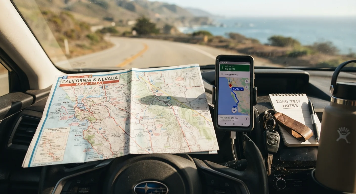
Neither navigation apps nor paper maps win outright - each handles situations the other cannot. Apps give you live data and turn-by-turn guidance; paper maps give you reliability and context when signals fail. The most confident road trippers treat them as a team, not a competition.
| Best for | Recommended |
|---|---|
| Tech-comfortable drivers on well-connected interstate routes | Navigation App (with offline maps downloaded) |
| Travelers heading into remote, rural, or mountainous regions | Paper Map as primary with app as supplement |
| First-time road trippers who want maximum confidence | Both - app for daily driving, paper map for backup planning |
| Scenic or spontaneous route explorers | Paper Map for route discovery, app for logistics |
Why This Debate Still Matters
Smartphones have made turn-by-turn directions available to anyone with a data plan, yet experienced road trippers rarely leave paper maps behind entirely. The reason isn't nostalgia - it's risk management. When you're three hours from the nearest town and your signal drops, the tool in your glovebox may matter more than the app on your dashboard mount. Understanding what each option actually does well (and where each quietly fails) helps you prepare smarter before you pull out of the driveway.
This comparison is part of a broader approach to trip preparation. If you're new to long drives, our complete first-timer's road trip guide walks through every planning step in sequence.
What Navigation Apps Do Well
Modern navigation apps offer capabilities no paper map can match. Their core strength is live data: real-time traffic conditions, accident alerts, road closures, and dynamic rerouting around slowdowns. For highway driving through populated corridors, this alone can save significant time.
Apps also make it easy to search for gas stations, rest areas, restaurants, and charging stations along a specific route - useful when you need fuel within the next 30 miles and aren't familiar with the area. Most apps display estimated arrival times that adjust as conditions change, which helps with coordinating overnight stops or meeting people at a destination.
One underused feature worth knowing: offline maps. Most major navigation apps allow you to download regional maps to your device before you leave. This means the map data itself is stored locally and doesn't require a cell signal - though live traffic updates still do. Downloading offline maps the night before departure is one of the simplest steps a driver can take to reduce dead-zone risk.
Download Offline Maps Before You Leave Home
Most navigation apps let you save regional map data to your phone while connected to Wi-Fi. Doing this the evening before your trip means the core map works even when cell service drops - a common situation on rural highways and mountain passes. Check the app's settings for a 'download offline area' or similar option, and select a generous region rather than just your exact route.
For a broader look at when digital tools let you down, see our guide on offline vs. online travel documents.
Where Navigation Apps Fall Short
Apps depend on a functioning device, a charged battery, and - for live features - a data signal. Cell coverage in the United States remains uneven. Rural stretches, national forest roads, mountain passes, and parts of the Great Plains and Southwest can go miles or hours without a usable signal. In those zones, a navigation app that wasn't preloaded offline becomes a blank screen.
There's also a cognitive consideration. Apps show a narrow corridor of your route, which can make it harder to understand where you are in relation to the larger landscape. Drivers who rely solely on apps sometimes describe feeling disoriented when an unexpected detour takes them off the planned path - because they've never seen the wider picture. This is worth keeping in mind if you're planning scenic byway driving or routes off the interstate.
What Paper Maps Still Do Better
A well-chosen road atlas or state map has three qualities no app can fully replicate: it requires no power, no signal, and no subscription. It works in a canyon, a dead zone, or when your phone has been in the sun too long and needs to cool down before it functions again.
Paper maps also provide geographic context. Seeing an entire state or region at a glance helps you understand how towns, highways, and terrain relate to each other - useful for making judgment calls about alternate routes, identifying state parks, or simply knowing which direction you're generally heading. Experienced drivers often use a regional atlas during the planning phase to choose their overall route, then switch to an app for day-to-day navigation.
| Navigation Apps | Paper Maps | |
|---|---|---|
| Works without cell signal | Only if offline maps downloaded | Always |
| Real-time traffic updates | Yes, with data connection | No |
| Battery dependency | High - device must be charged | None |
| Geographic overview | Limited - narrow route view | Excellent - full region visible |
| Searching for stops en route | Easy - built-in search | Manual - requires prior knowledge |
| Accuracy for major roads | Updated frequently | Reliable for primary routes |
| Cost | Free (most apps) | Low one-time purchase |
| Ease of use while driving | High - audio prompts | Requires stopping to consult safely |
One common myth worth addressing: many drivers assume paper maps are outdated and useless. In reality, the primary road network across most of the US changes slowly. A map that's a few years old will still accurately reflect most major highways and state routes. For myth-busting on road trip planning in general, see common road trip myths that derail good planning.
How to Build a Layered Navigation Strategy
The most practical takeaway from how experienced road trippers actually navigate is this: use both, with intention. Here's a simple framework before any long drive:
- Plan your broad route on a map. Identify your main corridor, note where you're stopping overnight, and flag any regions with limited cell coverage (these often appear on coverage maps published by carriers).
- Download offline maps for every region you'll pass through. Do this on Wi-Fi the night before departure, not in a parking lot the morning of.
- Keep a paper atlas or relevant state maps in the vehicle. A compact road atlas takes up minimal space and covers the entire country.
- Charge devices before each driving day and consider a car charger or portable power bank as standard kit.
For unfamiliar terminology - like what "dead reckoning" means or how fuel range is typically calculated - our road trip glossary explains the key concepts in plain language. And if you're still in the early stages of trip planning, our trip planning hub is a useful starting point.