
Road-Tripping the American Southwest: Planning a Route That Makes Geographic Sense

Key Takeaways
Why Geographic Sequencing Changes Everything
The American Southwest's most famous parks - Zion, Bryce Canyon, Arches, Canyonlands, Monument Valley, and the Grand Canyon - are spread across Utah and Arizona in a loose arc that happens to form a remarkably efficient loop. The problem most first-time visitors face isn't finding the parks; it's visiting them in an order that turns into exhausting zigzagging across hundreds of unnecessary miles.
A geographically sequenced route keeps driving days manageable, lets the landscape build visually (each park looks distinctly different from the last), and saves fuel costs that add up fast across long desert stretches. It also makes it easier to plan around permit windows, which vary by park and season. For a broader foundation on building any road trip intelligently, the Trip Planning hub covers the essential pre-departure checklist.
This guide walks through a clockwise loop that most travelers find logical: launching from Las Vegas, swinging through southern Utah's red rock corridor, dipping into Arizona for Monument Valley and the Grand Canyon, then returning west. Done right, it's achievable in 10-14 days without feeling rushed - or condensed to 7 days if you limit your time at each stop.
Book Permits Before You Commit to Dates
Zion National Park, the Grand Canyon's North Rim, and parts of Antelope Canyon require advance reservations or timed-entry permits that sell out far ahead of peak season. Locking in permit dates before you finalize any other booking ensures your route actually works. Check recreation.gov and each park's official site for current requirements, as policies change seasonally.
What to Know Before You Go
A few practical realities shape how this route works in practice. First, the Southwest's national parks are increasingly permit-driven. Several require timed-entry passes, and popular trails operate on lottery systems. Understanding how the national park permit system works before you set dates is essential - it can determine which parks you can realistically visit and when.
Second, this region is not forgiving of poor preparation. Summer temperatures in canyon areas can reach dangerous levels, and some roads - including access routes to certain Canyonlands viewpoints - require high-clearance vehicles. Reviewing common road trip planning mistakes specific to this type of terrain is time well spent before departure.
recreation.gov Account
Used to check availability, enter permit lotteries, and book timed-entry reservations for multiple Southwest parks.
Offline Maps App (e.g., downloaded national park maps)
Cell service is unreliable across large stretches of canyon country - offline maps prevent navigation failure in remote areas.
America the Beautiful Annual Pass
Covers entrance fees at all National Park Service sites - useful if visiting four or more parks on this loop.
Portable Water Filter or Extra Water Storage
Potable water is scarce between parks; carrying extra capacity is a practical safety measure in desert conditions.
Third, lodging inside or immediately adjacent to the most popular parks books up months in advance. Moab, Kanab (a central Utah town useful for Zion and Bryce), and Flagstaff (near the Grand Canyon) serve as reliable base towns with more availability - but even these fill quickly in peak season.
Timing the Southwest Loop for Best Conditions
Late March through May and mid-September through November offer the most temperate hiking conditions across the region. Summer brings extreme heat in canyon areas - temperatures at the Grand Canyon floor can exceed 110°F - and peak crowds. Winter is possible for most South Rim and lower-elevation stops, but Bryce Canyon roads may require chains. See our guide on planning around weather for a deeper seasonal breakdown.
Following the Steps: Your Southwest Loop
The six steps below trace the recommended clockwise route in sequence. Each stop is described with minimum recommended nights, key experiences, and logistical notes specific to that location. Adjust the pacing based on how much hiking versus driving you prefer - some travelers want a full three days at Zion, while others are happy with one.
Choose Las Vegas as Your Starting Hub
Las Vegas sits within a five-hour drive of nearly every major Southwest landmark - making it the natural anchor for this loop. Flights into Harry Reid International Airport are abundant and often affordable, and the city has no shortage of lodging for a pre-trip or post-trip night. Renting a vehicle here also gives you immediate highway access heading east or northeast toward your first park stop.
Head East to Zion National Park First
From Las Vegas, Zion National Park in southern Utah is roughly 2.5 hours northeast - an easy opener. Start here while your energy is freshest, as Zion's iconic trails (Angels Landing, The Narrows) demand physical effort. Plan for a minimum of two full days to experience more than the shuttle-stop highlights. The park's canyon geography is visually distinct from what follows, giving the loop a compelling visual arc from the start.
Continue to Bryce Canyon National Park
Bryce Canyon is only about 80 miles east of Zion - a scenic, hour-and-a-half drive. Despite the proximity, the landscape transforms dramatically: instead of vertical canyon walls, you're now looking at thousands of crimson hoodoos (tall, thin spires of eroded rock) glowing at sunrise and sunset. One to two days here is ideal. The Rim Trail offers accessible panoramic views even for less-experienced hikers, while Queen's Garden and Navajo Loop trails go deeper into the hoodoo formations.
Drive to Arches and Canyonlands in Utah
From Bryce, push northeast approximately four hours toward Moab, Utah - the gateway town for both Arches National Park and Canyonlands National Park. These two parks offer very different experiences: Arches showcases over 2,000 natural sandstone arches in a compact, drivable layout, while Canyonlands spreads across vast mesas and river canyons better suited to longer hikes or scenic overlook drives. Allocate at least a day per park, and consider Moab as your base - it has solid lodging, restaurants, and gear shops.
Drop South to Monument Valley and the Grand Canyon
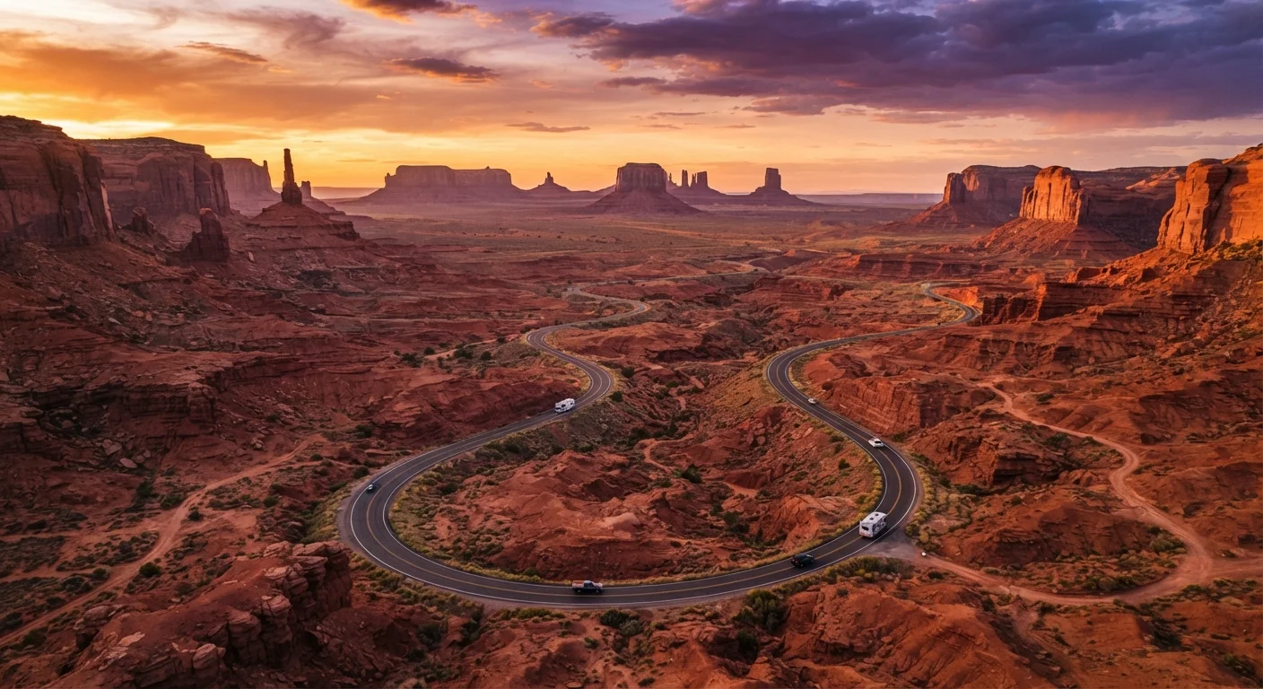
From Moab, head south and west toward Monument Valley - the iconic mitten-shaped buttes on the Utah-Arizona border that define the visual shorthand for the American West. Monument Valley Navajo Tribal Park is managed by the Navajo Nation, not the National Park Service, and has its own entrance fees and tour requirements. From there, continue west to the Grand Canyon's South Rim, which sits roughly 3.5 hours from Monument Valley. The South Rim is open year-round and needs at least a full day; two is better if you want to hike below the rim.
Close the Loop Back to Las Vegas
The final leg from the Grand Canyon's South Rim back to Las Vegas runs approximately four hours west along I-40 and US-93. If time allows, a detour through Sedona, Arizona - known for its striking red rock formations and art community - adds only a small amount of driving and offers a memorable final scenic stop. This closing segment ties the loop together geographically, returning you to your starting hub without retracing any major segments of the route.
Once you've completed the loop, you'll have covered geology spanning hundreds of millions of years - from the soaring canyon walls of Zion to the ancient seabed fossils visible along Bryce's rim. That's the reward of a route that makes geographic sense: the journey itself tells a story.